Grid Digitization
1. Description
This tool generates a grid from an area of interest with a custom grid size
2. Inputs and parameters
- Field boundaries define the area of interest.
- Tile size: the size of the tiles of your grid in meters
- Suffix: suffix to add to the result name. A space is used as a separator
- Keep Original Index: If set, the original index is indicated as an attribute in the output vector
3. Workflow
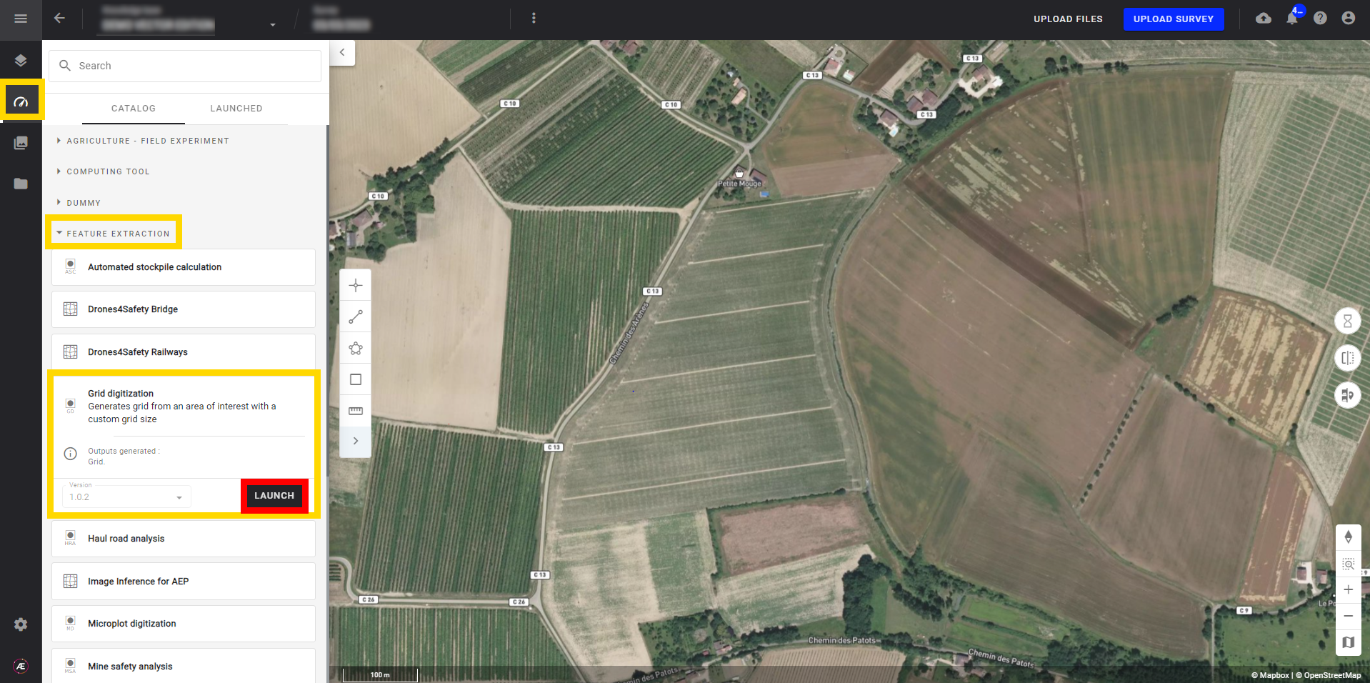
Step 1 - Search and select "Grid digitization" from the "Tools" menu, and click on "LAUNCH".

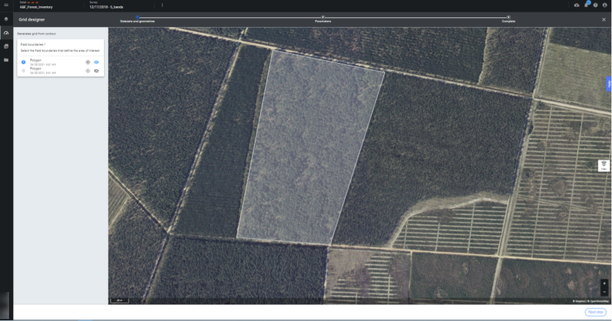
Step 2 - Select the polygon representing the field boundaries and define the Tile size (in meters) and the Suffix (none as default).


Step 3 - Click on "LAUNCH GRID DIGITIZATION".
4. Results
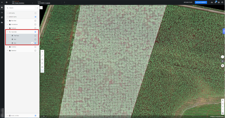
The grid layer will appear inside the “Input data” in ".

5. Deliverables
Grid: geojson


